Nearest hamlet: Mournia
Entrance coordinates: 034ο58.087 Ν / 025 ο 09.514 Ε / 465 el.
Exit coordinates: 034ο 57 386 Ν / 025 ο 09 565 Ε / 5 el.
Average canyon crossing time – canyoning (calculated for 4 experienced individuals): 4 h
Difficulty level (the level of difficulty is calculated on a scale of 1 to 6): 3
Longer descent: 80m
Total number of descents: 12
Duration of hike from the stop point to the entrance of the gorge: 3min
Duration of the hike from the exit point of the gorge to the parking area: 0min
Entrance-exit distance (in km by car): 6.8km
Appropriate period: Year-round
Recommended period: Winter, Spring
Amenities: Ethia Information Centre and camping centre. Cafés in the villages of Paranymfoi, Ethia, Achentrias, Treis Ekklisies.
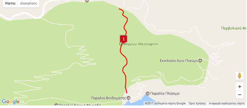
Mesosfini is located between the villages of Mournia and Prinia. It starts one kilometre outside Mournia and although it is initially narrow, it opens and forms long descents. It is one of the few known gorges in Crete that feature two long consecutive descents (70m and 80m).
It is a beautiful gorge with very interesting formations, like smooth rocks sculpted by the water, stalagmites in the big waterfalls and huge boulders on its bed. Mesosfini collects water from the Kato Kampos plateau, which lies between the Sachos (709m), Aggelomandra (689m) and Skylies (725m) peaks. It exits into the Voidomatos beach.
Download the kml file of the route in your device: (kml) Mesosfini gorge
source: archanes-asterousia.gr